Venice, Italy
Things to Do in Venice
St. Mark's Square & Basilica
Doge's Palace
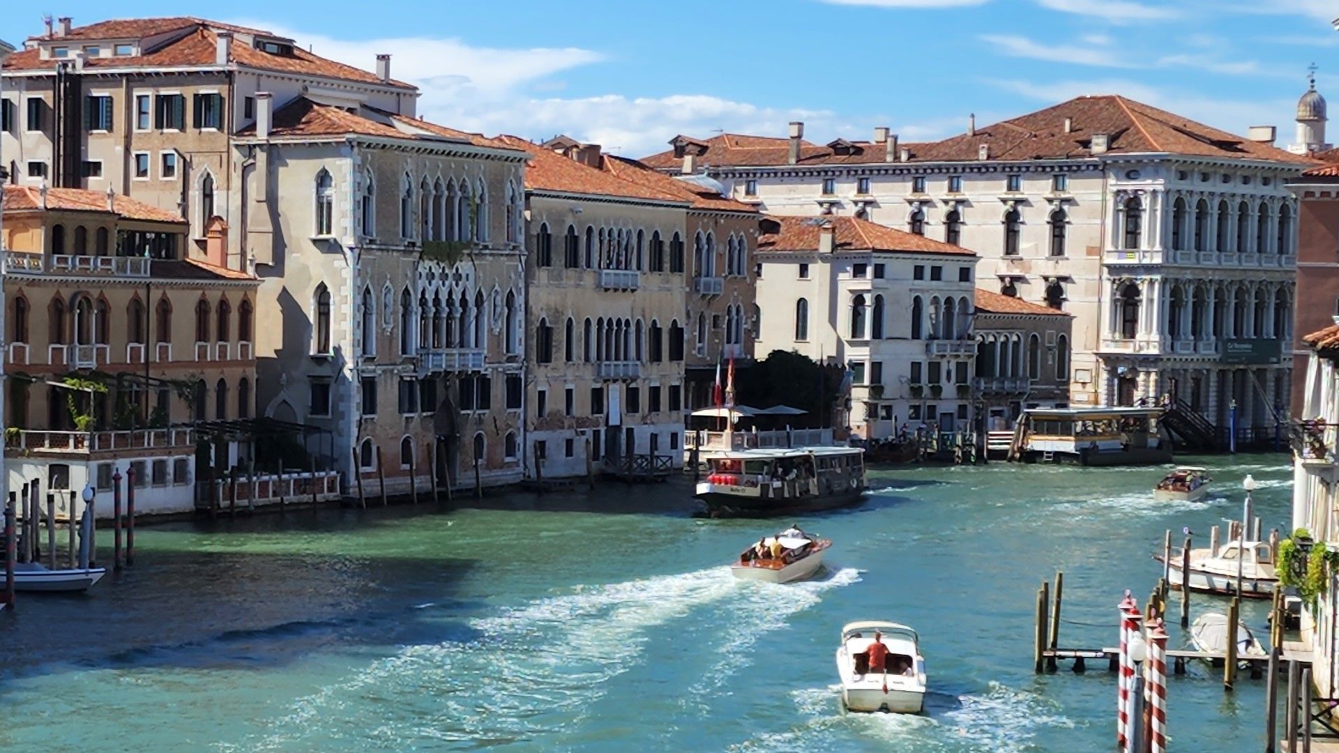
Ride the Grand Canal
Rialto Bridge & Market
A Gondola Through the Back Canals
Murano & Burano Islands
Flights to Venice, Italy
Venice Marco Polo Airport (VCE)
- About 8 km (5 miles) direct from the historic center, though by road it's closer to 12–14 km to Piazzale Roma, the point where land transport ends.
- Served by most major international and European carriers, with direct flights from many hubs.
- From the airport, take the Alilaguna water bus straight into the city (about 30–45 minutes), a land bus to Piazzale Roma (20–30 minutes), or a private water taxi if you're arriving with luggage and want to skip transfers.
Treviso Airport (TSF)
- Around 40 km (25 miles) north of Venice, mostly used by budget carriers.
- A shuttle bus connects to Piazzale Roma in about 40–70 minutes, timed to flight arrivals.
- Worth it if the fare savings outweigh the extra transfer time.
Booking tip: fares are usually lowest 2–4 months out for European routes and 4–6 months out for long-haul.
Arrival tip: at whichever airport you land, remember Venice's historic center is entirely car-free — you'll finish the journey on foot or by boat.
Luggage tip: pack lighter than usual. There are no cars, and cobblestones plus bridges with steps make rolling large suitcases genuinely hard work.
Where to Stay, by Neighborhood
San Marco
Cannaregio
Dorsoduro
Giudecca Island
Santa Croce & San Polo
Weather by Season
Spring (Mar–May)
Summer (Jun–Aug)
Autumn (Sep–Nov)
Winter (Dec–Feb)
Map of Venice, Italy
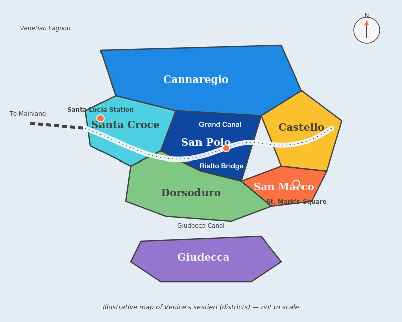
San Marco
Cannaregio
Castello
Dorsoduro
San Polo
Santa Croce
Giudecca
Planning Your Trip
Late April to early June, and September into October, offer the best balance of mild weather, good light, and manageable crowds. July and August are hot and the busiest by far.
Three full days is a comfortable minimum — one for St. Mark's and the Doge's Palace, one for wandering Cannaregio and Dorsoduro, and one for Murano and Burano.
Marco Polo Airport (VCE) is closest and connects directly by water bus. Treviso (TSF) is used by some budget carriers and needs a road transfer of about an hour.
It's the exceptionally high tide that can flood low-lying areas, mainly from autumn through early spring. Raised walkways go up in St. Mark's Square when it happens, and it usually passes within hours.
No — the historic center is entirely car-free. You'll get around on foot and by vaporetto. If you're driving in, you'll park at the edge of the city and finish the trip on foot or by boat.